-
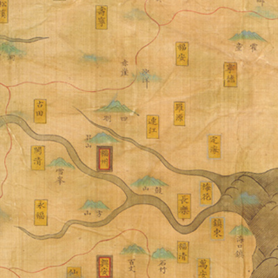
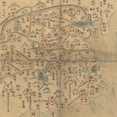
The map depicts Ming Dyna...
大明輿地圖
Mid-Ming period, 1547-1559
-
The atlas consists of 20 ...
分野輿圖
Mid-Ming period, 17th century
-
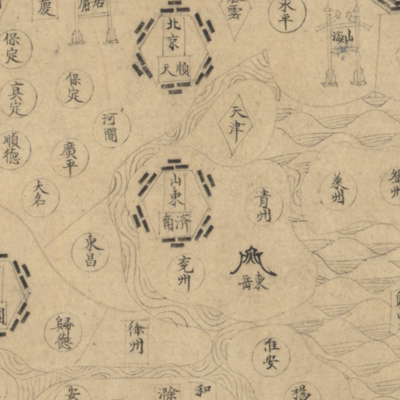
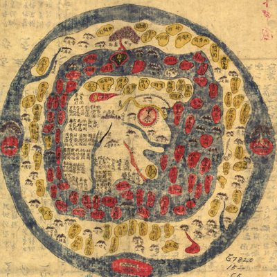
The title on the panel is...
天地圖
Late-Ming period, ca. 1601
-
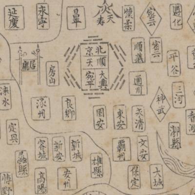
The atlas of the Ming Emp...
遐覽指掌
Qing Shunzhi period, 1647
-
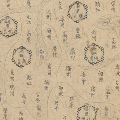
The title on the cover is...
大明一統山河圖
Early Qing period, 18th century
-
The manuscript map was ba...
天下圖
17th century
-
The atlas was reproduced ...
康熙皇輿全覽圖
Qing Kangxi period, 1708-1718
-
The prime meridian of thi...
皇輿全覽分省圖
Qing Kangxi period, 1693-1722
-
The map set consists of 1...
大清分省輿圖
Mid-Qing period, 1754-1760
-
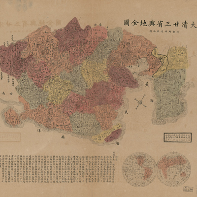
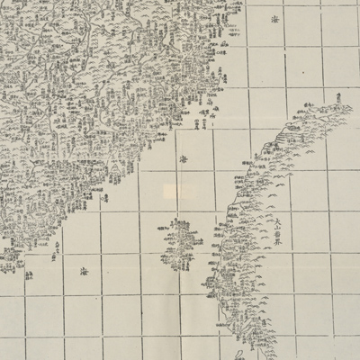
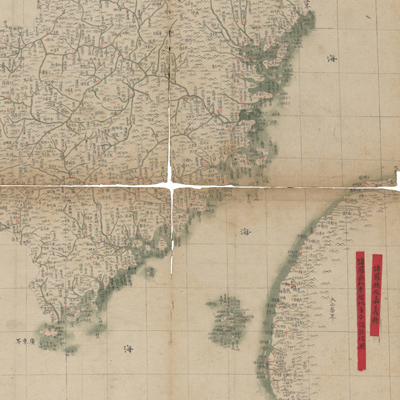
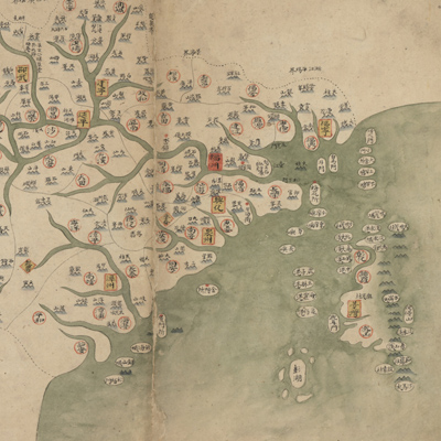
The map depicts the natio...
大清廿三省輿地全圖:附朝鮮州道輿地圖
Qing Guangxu period, 1885-1895
-

According to the legend o...
輿地全圖
Qing Jiaqing period, 1799
-
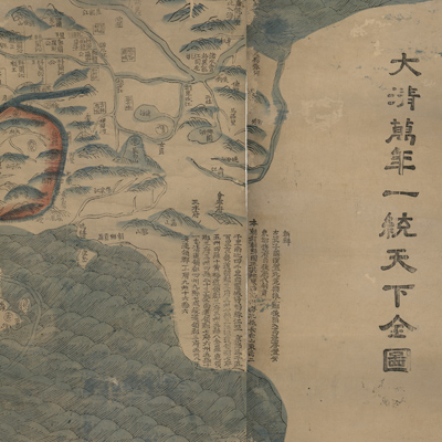
The note along the right ...
大清萬年一統天下全圖
Qing Jiaqing Period, 1811
-
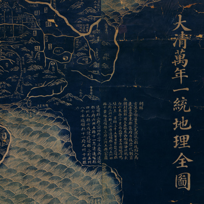
According to the text on ...
大清萬年一統地理全圖
Qing Jiaqing period, 1814-1816
-
The map is copied from “N...
皇朝一統輿地全圖
Qing Daoguang period, 1832
-
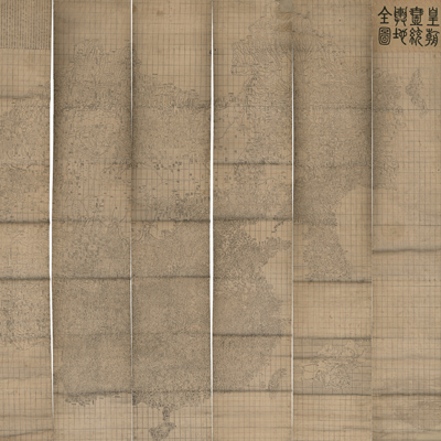
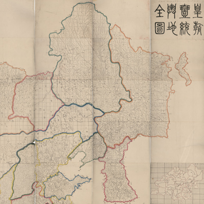
The title “Huang Chao Yi ...
皇朝一統輿地全圖
Qing Daoguang Period, 1842
-
The map on one side of th...
大清一統天地全圖
Late Qing period
-
No title appears on the m...
乾隆天下輿地圖
After the eighth year of Qing Qianlong’s reign, 1743-