General Maps
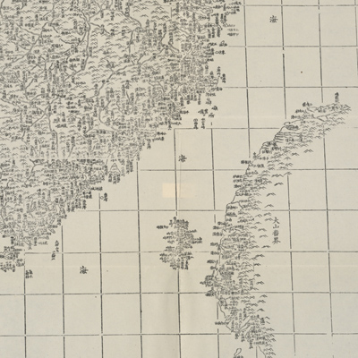
康熙皇輿全覽圖
The Kangxi imperial atlas of China| Hanyu Pinyin | Kangxi huang yu quan lan tu |
|---|---|
| Creator | Regis, Jean Baptiste, 1664-1738 and others |
| Date | Qing Kangxi period, 1708-1718 |
| Measurement | |
| Techniques | Woodcut |
| Material | paper |
| Quantity | |
| Categories | |
| Country of Repository | |
| Identifier | Library of Congress |
| Link to Original Database | http://lccn.loc.gov/74650033 |
| Share |
The atlas was reproduced from a 1721 woodcut edition by Walter Fuchs (1902-1979) in 1943. Original compilation of this map was based on the nationwide field survey done between 1708 and 1718 by Chinese officials and Jesuits Jean Baptiste, Regis and Pierre Jartoux. The survey adopted European triangulation methods and Nicolas Sanson's projection. Each map is individually subtitled and all place names are in Chinese.
The map can be studied with the National Palace Museum's collection: title: Shi san pai tong ban di tu (map no. 021049-021156) for comparative study.
The map can be studied with the National Palace Museum's collection: title: Shi san pai tong ban di tu (map no. 021049-021156) for comparative study.